7 mistakes people make when buying land without walking it first
On paper, a piece of land can look perfect—great price, good location, and all the features you think you want. But until you’ve set foot on it, you’re missing the full story. Photos, maps, and even seller descriptions can leave out a lot: hidden slopes, drainage problems, boundary issues, and access challenges that only show up in person.
Buying land sight unseen might save you a drive, but it can cost you big later. Here are the mistakes people make when they skip the walk-through.
Trusting photos over the real terrain

Listing photos can make a property look flat, green, and open when it’s anything but. Wide-angle shots hide slopes, and seasonal pictures can cover up drainage issues or thick brush. Walking the land shows you how it actually feels underfoot—how steep, soft, rocky, or uneven it really is. The terrain determines what you can build, plant, or access, and you can’t fully understand that from a screen.
Overlooking water flow and drainage

You can’t tell from an aerial map where water goes after a storm. Low areas that hold water might not look bad during dry months but can turn into mud pits or washouts after heavy rain. Standing on the land lets you spot natural runoff paths, erosion channels, and soggy ground that could ruin driveways or gardens. Good drainage makes or breaks how usable a property really is.
Assuming access won’t be a problem
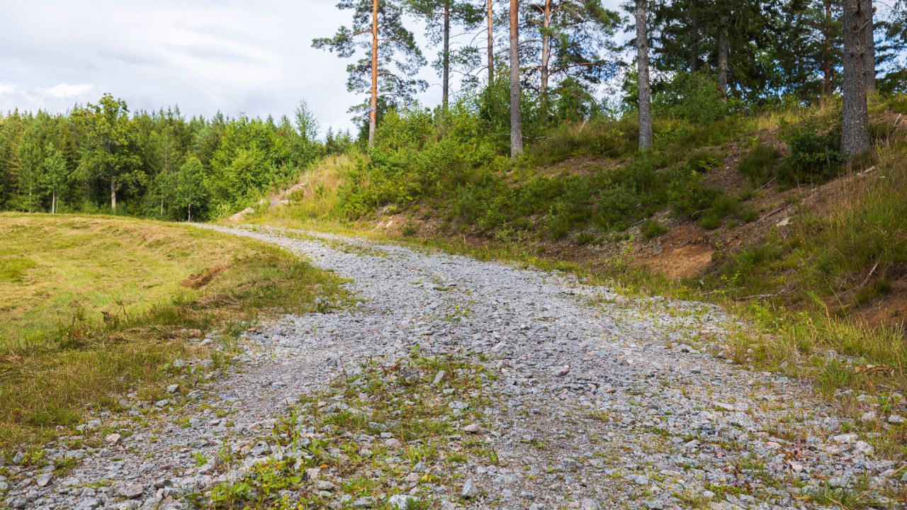
A property can technically have a legal easement and still be a nightmare to reach. Dirt roads can wash out, gates might be locked, or neighbors may dispute the boundaries. When you walk it, you see how accessible it actually is—what the entry looks like, how close utilities are, and whether you’d need major grading to bring a driveway through. Paper access doesn’t always mean practical access.
Missing boundary issues

Survey maps help, but they don’t always line up neatly with what’s visible on the ground. Fences might not match the true property line, and old markers could be missing altogether. Walking the land helps you spot any encroachments, like a neighbor’s shed or fence sitting where it shouldn’t. Those small boundary disputes can turn into big legal headaches once you close on the deal.
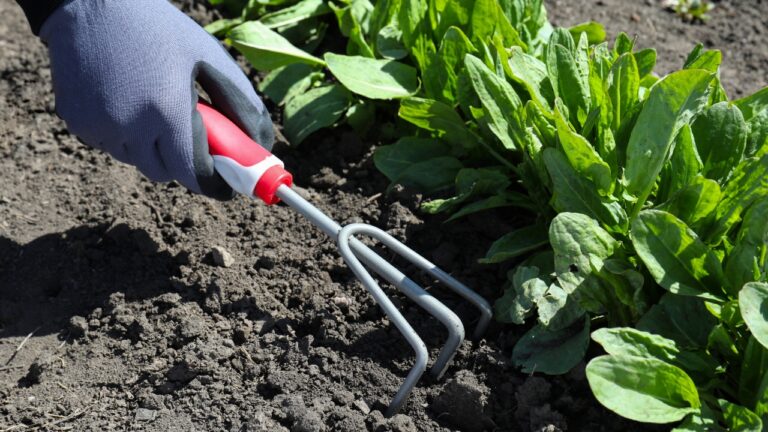
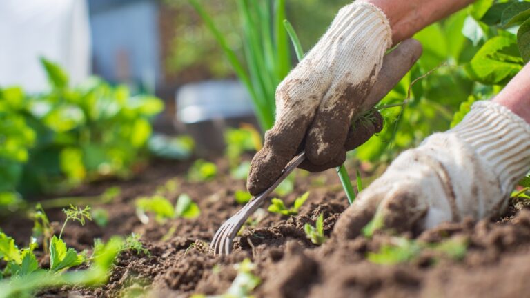
Ignoring soil and vegetation clues
The plants and soil color tell you a lot about land health. Sparse grass or patches of standing weeds might mean compacted soil or poor drainage. On the flip side, dark, loose soil usually points to good growing potential. You can also spot signs of past use—old burn piles, dumped trash, or areas sprayed with chemicals. None of that shows up on a satellite view, but it all matters for homesteading.
Underestimating slope and elevation

Even a slight slope can make building, fencing, or installing septic systems more complicated and expensive. Walking the land helps you feel those grade changes that don’t look dramatic in photos. You’ll notice where rainwater naturally flows, how steep driveways might get, and whether your “flat” future garden is actually sitting on a gradual incline. Seeing it in person helps you plan realistically.
Failing to notice nearby nuisances

You might think the property’s peaceful based on the listing—but what’s nearby can change that fast. Walking it lets you hear road noise, smell nearby feedlots, or notice how close power lines or shooting ranges really are. You can also see if neighboring properties are well-kept or cluttered, which affects value and how it feels to live there. A quick visit tells you far more than a clean listing ever will.
*This article was developed with AI-powered tools and has been carefully reviewed by our editors.