Rural Property Owner Finds the Recorded Deed Doesn’t Match Where the Neighbor Insists the Line Falls — Then the Neighbor Refuses to Accept Forty-Year-Old County Deed Records
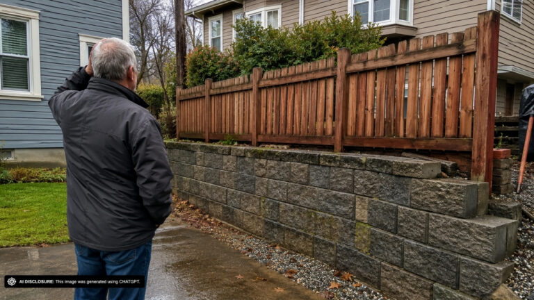
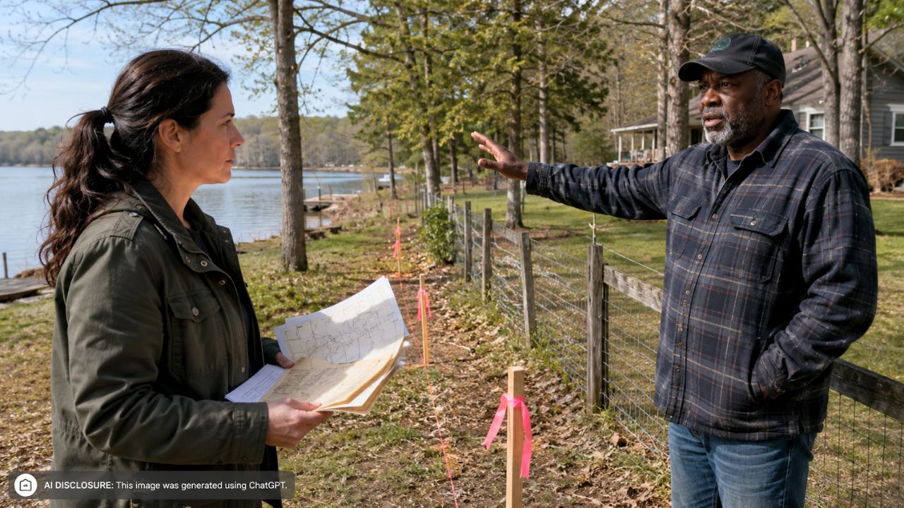
Photo credit: AI-generated image created using ChatGPT. Illustrative only.
It starts the way a lot of rural property problems start: a neighbor shows up confident, a survey shows up sharper, and suddenly the land you’ve always treated as yours is being measured out of your hands. One lakeside property owner says their neighbor hired a surveyor whose new lines would take roughly a third of their land—despite a much older recorded plat that shows the boundary in a totally different place.
The owner laid out the mess in the original post, including annotated images that overlay a 1971 plat on top of the newer survey. They’ve already brought in a lawyer and believe adverse possession could be a strong argument—but they don’t want it to come to that. What they want is the simplest version of rural sanity: a line that matches the records everyone has been living with for decades.
The paperwork said one thing, the new stakes said another
According to the homeowner, the neighbor’s surveyor is working from deed language that references the “low-water mark” of the lake. On paper, that sounds straightforward: if the deed ties the boundary to a natural feature, the survey follows the natural feature.
But when the owner compares the deed to the referenced plat, something doesn’t add up. The deed’s southeast corner is supposed to be at the low-water mark—yet the plat the deed points to places that same corner about 50 feet away from the low-water mark. And that matters because, in the owner’s telling, it’s the only monument with a known location that predates the deed itself.
That creates a maddening question: if the one corner everyone can confidently locate isn’t actually sitting on the low-water mark, why is the new survey insisting that the rest of the line must strictly track the lake’s low-water boundary?
Old plat, new technology, and a shoreline that won’t sit still
The property owner isn’t arguing that older surveys are always right. They acknowledge modern surveying is better and that older plats can be wrong. What makes this hard is that the 1971 plat feels internally consistent in a way the newer interpretation doesn’t—at least to them.
They say that if you don’t force the boundary to follow the low-water mark—more in line with the 1971 approach—then the deed lengths fall within about six feet of the deed description. The owner even measured distances using Bluebeam to sanity-check what they were seeing in the documents.
Meanwhile, the shoreline itself is the kind of “monument” that can drift in meaning over time. Low-water marks can be interpreted differently, water levels fluctuate, and the ground at the edge of a lake changes with erosion, sediment, and decades of seasonal movement. For the homeowner, that’s exactly why the older plat’s fixed, described monuments feel like the anchor point—not the waterline.
The monument problem: iron post on paper, concrete in real life
On the ground, things get even messier. The owner says there’s an existing monument at the southwest corner, but it’s out of the ground and leaning. Worse, it doesn’t match the deed description. The deed calls for an iron post; what’s there now appears to be concrete.
That kind of mismatch is where neighbor disputes turn into long, expensive standoffs. If the original monuments are missing or disturbed, each side starts asking whose evidence counts more: the modern surveyor’s reconstruction, the old plat that “called out” monuments in detail, or the lived reality of where people have treated the boundary for years.
The owner believes the 1971 plat listed monuments with descriptions matching the deed, which suggests the surveyor back then may have had access to original markers that aren’t available now. To them, the present-day survey feels like it’s solving a puzzle with missing pieces—then demanding everyone accept the new picture as the only possible answer.
When “just talk to your neighbor” stops working
The homeowner has already hired a lawyer. That detail alone tells you the conversation has likely moved past friendly chats at the property edge and into the stage where every word feels like it could be used later.
They say they have a strong case based on adverse possession, but they’d rather not go down that road. That’s a very real homestead instinct: adverse possession may be a legal tool, but it’s also the kind of argument that can permanently poison the relationship next door, especially in rural areas where you’ll run into each other at the mailbox, the local store, or across the lake for the next twenty years.
The fear underneath the paperwork is practical. Losing a third of a property isn’t abstract—it can change where you can build, where you can maintain a driveway, where you can cut trees, whether you can put up a fence, even whether you can access parts of your own land without stepping onto someone else’s claim.
The reactions: people zeroed in on the “chain of evidence”
Even without a full comment thread included, the owner’s write-up shows the kind of guidance they’re seeking: someone who can explain which documents and markers have the most weight when surveys disagree. They’re not looking for internet cheering; they’re trying to understand why a half-century-old recorded plat seems to be losing a fight against a modern survey that may not have the original monuments.
The post also hints at another reality people in these disputes learn fast: it’s not enough to have “a deed.” You have to understand what the deed calls for, what plat it references, what monuments are described, which ones still exist, and how a surveyor is supposed to reconcile conflicts in the record. If one corner is documented in a way that contradicts the “low-water mark” idea, that contradiction becomes the thread everyone starts pulling on.
The owner even asks if anyone licensed in Vermont is available—an unglamorous detail that says a lot. When you’re in a boundary fight, you don’t just need a survey. You need the right surveyor, one willing to dig into older records, evaluate questionable monuments, and explain their reasoning in a way that holds up when the other side refuses to budge.
Stuck between a lake line and a life line
The tension here isn’t just technical; it’s emotional and financial. The homeowner is staring at two versions of reality: the recorded plat that has been around for decades, and the neighbor’s newer survey that redraws the map in a way that dramatically changes what they own. On top of that is the wild card of the shoreline—an edge that feels obvious until you try to pin it down with legal precision.
For now, the owner is doing what many rural property owners eventually have to do: assembling records, comparing calls and monuments, and leaning on professional help because neighbor-to-neighbor certainty has collapsed. It’s hard to keep the peace when the line itself won’t hold still—and even harder when one side treats older county records as optional.
Like Fix It Homestead’s content? Be sure to follow us.