Homeowner Finds Three and a Half Feet of the Neighbor’s Shed Along Their Shared Driveway — Then Two Surveys Disagree Over the Thirty-Foot Right-of-Way
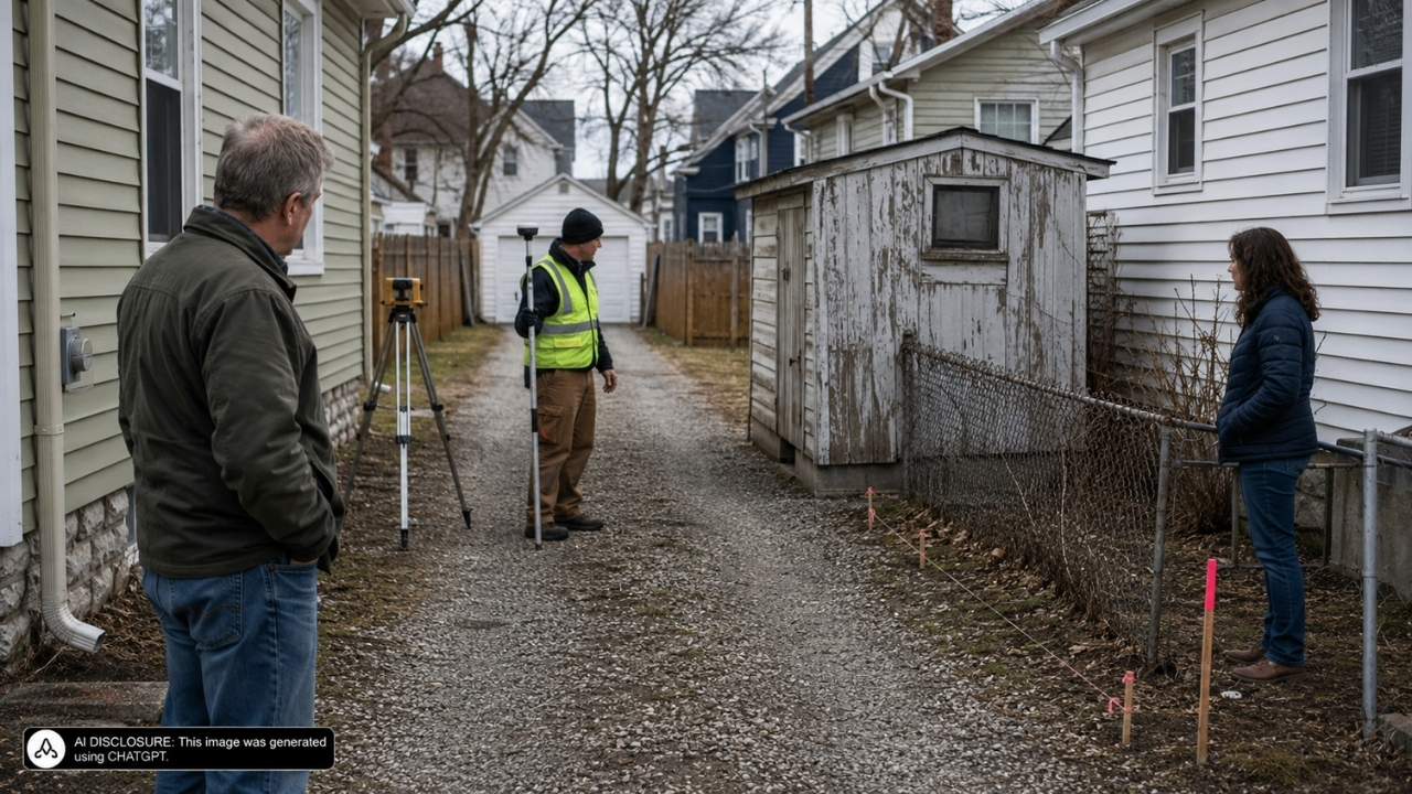
Photo credit: AI-generated image created using ChatGPT. Illustrative only.
It started the way a lot of driveway feuds start: with an old outbuilding that’s been “fine for years” until it suddenly isn’t. In Fayetteville, Arkansas, two neighboring homes had been sharing a gravel drive for decades, and a shed sat near the back like an afterthought—until one neighbor said it was unsafe, and the other neighbor answered by pulling a survey that essentially redrew the map.
In the court fight that followed (laid out in the source post), the big twist wasn’t just the shed creeping over a line. It was that two professional surveys disagreed by nearly ten feet, thanks to a debate over whether an old street right-of-way was 20 feet or 30 feet—and that difference cascaded through the whole block.
A shared gravel driveway that “just worked” for years
The properties sit at 319 and 321 S. Washington Avenue. Lee Ko owned Lots 7 and 8, and she’d been there since 1994. Esther Wills bought next door (Lot 9 and part of Lot 10) in 2015, and when she moved in, the setup was already baked in: a gravel driveway used by both homes, and a chain-link fence running from an existing survey pin toward a shed at the rear.
This wasn’t a pristine, modern “your side/my side” suburban divide. It was more like what you see in older neighborhoods—tight lots, shared access, and structures that have been sitting in the same place through multiple owners and multiple decades.
Wills did what a lot of buyers do when something looks even slightly complicated: she got a survey before closing. The 2015 survey from Blew and Associates placed the boundary through the middle of the shed and through the gravel driveway, meaning each neighbor owned a portion. Her title insurance was based on that understanding.
The shed became the spark (and code enforcement got involved)
For a while, everyone lived with it. Wills and her husband, Levi Schroeder, used part of the shed for storage and lawn-business equipment, and the court record says they even shared use with Ko’s tenant.
Then the shed stopped being a quaint shared nuisance and started looking like a safety problem. In 2016, Wills approached Ko about tearing it down because she believed it was unsafe. Ko objected. So in January 2017, Wills contacted Fayetteville code officials and reported the structure as deteriorating and straddling the property line.
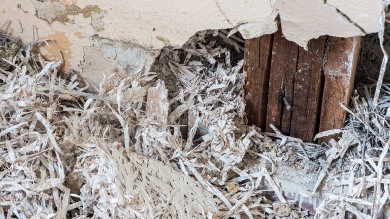
City inspectors didn’t treat it like a minor aesthetic complaint. Their records described it as “dilapidated and unsafe,” with rotten and termite-damaged framing, deteriorated siding, and openings that let weather and vermin get inside. The city warned it should be repaired or removed.
If you’ve ever dealt with an old shed that’s gone soft, you know what that means in real life: it’s not just ugly. It’s a liability, and it attracts the kind of pests you don’t want anywhere near your house.
Then a new survey moved the back corner almost 10 feet
After the city pressure, Ko commissioned her own survey. The 2017 Reid survey came back with a boundary line that didn’t just tweak the old layout—it effectively flipped who “owned” the long-shared features.
Surveyor Alan Reid placed the rear corner 9.4 feet south of the pin used by the Blew survey. That shift put the entire gravel driveway and the entire shed on Ko’s property.
And it got stranger. Under the Reid line, part of Wills’s house—a mudroom entrance—would also be on Ko’s side of the boundary. That’s the kind of survey result that makes homeowners go cold, because it’s not just about a strip of land anymore. It’s about whether a piece of someone’s actual home is suddenly “encroaching.”
Ko recorded the new survey in 2018 and told Wills and Schroeder to stop using the driveway. She also indicated she wanted to build a privacy fence along the Reid line. Wills responded by going to court and asking a judge to determine the true boundary.
The lawsuit sprawled, but most of it didn’t survive
Once lawyers got involved, it didn’t stay limited to “where’s the line.” Ko accused Wills and Schroeder of “malicious oppression,” saying they had plotted to use the city to force the shed’s destruction. She later added claims for trespass, clouding of title, and slander of title.
The courts cut most of that down before trial. The “malicious oppression” claim didn’t fly because Arkansas law doesn’t recognize it as a cause of action, and the court said Ko’s allegations didn’t amount to defamation or outrage. The appeals court also noted Wills’s statements about the shed being unsafe were backed up by the city inspection.
Ko’s trespass claim was dismissed as untimely under Arkansas’s three-year statute of limitations. The alleged shed-related trespass ended by the time the structure was removed in May 2017, but Ko didn’t file the counterclaim until May 2020.
Ko tried to argue the deadline should be extended based on fraudulent concealment, but the court wasn’t buying it. Wills and Schroeder weren’t sneaking around; they openly used the shed and shared it with Ko’s tenant. Photos sent to Ko in 2016 showed doors, equipment, and belongings inside.
The slander-of-title claim failed too, because Ko couldn’t show Wills knowingly made false statements or acted maliciously. The city had deemed the shed unsafe, and Ko ultimately had it demolished.
Two surveys, one driveway, and a right-of-way that changed the math
The core question—where the true boundary belonged—went to a bench trial. The judge found the 2015 Blew survey more credible than the 2017 Reid survey.
The right-of-way detail was a big deal. Historical plats showed South Street, which formed the subdivision’s northern boundary, originally had a 20-foot right-of-way. The evidence suggested Reid relied on a marker corresponding to a later 30-foot right-of-way, shifting the entire subdivision almost ten feet south.
Physical clues lined up with the older survey, too. The chain-link fence started at the existing pin used by the Blew survey and ran toward the shed. And the “old neighborhood logic” made sense: the shed straddled the boundary, and the driveway had been shared for decades.
Under the Reid line, the property layout got awkward fast. It would put the entire driveway on Ko’s property, leave Wills’s house without a driveway, and place part of Wills’s mudroom across the supposed line. The appeals court agreed the Blew survey fit the historic boundaries and longstanding use better.
Even if someone wanted to argue over inches, the judge also found boundary by acquiescence—meaning owners over time treated that fence/shed/driveway line as the dividing line. And on top of that, the court ruled both properties had prescriptive easements to use the driveway to reach Washington Avenue, reflecting the undisputed joint use going back at least to 1994.
The homeowner takeaway people latched onto: access beats ego
When stories like this circulate among homeowners, the reactions tend to split into two camps: the “get a survey and fence it” crowd and the “you can’t erase decades of use with a new drawing” crowd. This case basically handed a win to the second camp.
The practical point that sticks is how fast the stakes jump. What began as a rotting shed with termite damage turned into threats of cutting off access, talk of a privacy fence, and a survey that would have put part of a neighbor’s house on the wrong side of the line.
The Arkansas Court of Appeals affirmed the judgment in full. The older survey controlled, Ko didn’t end up owning the entire driveway (or any slice of the neighbor’s house), and both households kept the legal right to use the same gravel strip they’d been using all along.
And that’s the part that feels most real-life: you can argue about paper boundaries for years, but if a driveway is the only practical way in and out, courts tend to protect access—especially when the “shared” part has been shared for as long as anyone can remember.
Like Fix It Homestead’s content? Be sure to follow us.