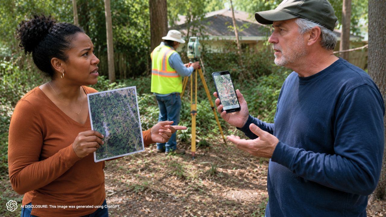
Georgia Homeowner Mid-Survey Finds a Boundary Stake Pulled Up — Then the Neighbor Insists a Tax Map Photo Overrules the Licensed Surveyor
Photo credit: AI-generated image created using ChatGPT. Illustrative only.
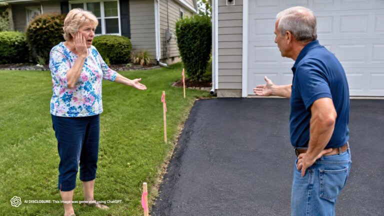
Halfway through a property survey, a Georgia homeowner watched a small plastic-and-wood marker turn into a full-blown neighborhood standoff. One of the boundary stakes the survey crew had set was suddenly gone—pulled up by the neighbor, according to the homeowner’s account in the original post.
It wasn’t just about a missing stake, either. The homeowner said the neighbor has been a steady source of friction since they bought the house last year, insisting that an online “picture” of the property lines is the real authority—even after the homeowner checked the site’s disclaimer stating the lines are for tax purposes and not legal boundaries.
Mid-survey, the line in the dirt disappeared
Survey work is one of those homeownership chores that feels boring—until it suddenly isn’t. In this case, the survey company started the job, got about halfway done, and planned to return the following week to finish.
That’s when the homeowner noticed something no one wants to deal with: a boundary stake separating the properties had been removed. These stakes are the on-the-ground breadcrumbs surveyors use while they’re measuring and marking. When one vanishes mid-process, it doesn’t just slow things down—it raises the temperature.
Even if the final survey plat and pins are what ultimately matter, a pulled stake sends a message. It’s not subtle. It’s a neighbor saying, “I don’t accept what’s happening here.”
The neighbor’s “proof” was a tax map screenshot
The homeowner said the neighbor’s go-to argument is an image found online that supposedly shows the “legal boundaries” between the two properties. If you’ve ever looked at county GIS sites, you can already guess where this is headed.
The homeowner did what most people would do: they went to the website themselves and read the fine print. The disclaimer stated that the mapped lines are not legal boundaries and are intended for tax purposes only—useful for rough reference, not for settling fence lines.
But the neighbor wasn’t interested in disclaimers or professional measurements. The homeowner said the neighbor would not accept what the licensed surveyors were saying, essentially treating the online map like a trump card.
It wasn’t just the stake—there’s a fence and a brush pile too
The missing marker might have been the spark, but the homeowner also mentioned physical encroachments that make the dispute feel immediate. The neighbor has a brush pile and a fence on the homeowner’s property, according to the post.
That’s the part that turns a boundary argument into a daily-life problem. A brush pile isn’t just “stuff.” It can attract pests, hold moisture, and become a fire concern in dry spells. A fence isn’t just a line—it’s a structure that can limit access, complicate mowing, and create the impression that the neighbor’s use of the land is established and permanent.
And once a fence is up, people start treating it like the truth, even when it’s wrong. Visitors, contractors, and even future buyers can assume the fence is the property line, which is exactly why homeowners get nervous when disputes drag on.
Why pulling a stake hits a nerve for homeowners
Most property-line tension is slow and awkward: passive-aggressive mowing patterns, “helpful” trimming over the line, a shed that’s a little too close. But removing a survey stake mid-job feels different because it interferes with the process that’s supposed to end the argument.
The homeowner is paying for a licensed survey—usually not cheap—and trying to get a professional answer that can be relied on. When a neighbor physically alters the markers while the work is still underway, it can create confusion about what was placed where and when, even if the crew can reestablish the line from their measurements.
It also signals how the next phase could go. If a neighbor is willing to pull up a stake, what happens when the final pins are set? What happens if the survey confirms the fence and brush pile are encroaching? The homeowner’s post reads like someone trying to stop a problem from becoming permanent, not someone looking for a fight.
What people urged: document everything and let the survey finish
Although the post itself is short, the common, practical reaction in situations like this is consistent: don’t rely on back-and-forth conversations as your main strategy. Homeowners dealing with boundary disputes are often urged to document what’s there now—photos of the fence, the brush pile, and any disturbed markers—so the timeline doesn’t get muddy later.
Another theme that tends to come up is not treating tax maps as evidence of an actual boundary. County GIS layers can be off by feet, sometimes more, depending on how the parcel was digitized. People who’ve been through this tend to side with the licensed survey, because that’s what title companies, courts, and future transactions look to when it matters.
And there’s usually a strong “finish the survey first” instinct. Until the survey is completed and the surveyor’s findings are in writing, it’s hard to apply pressure in the right direction. With a completed survey, the homeowner is no longer debating a screenshot versus a hunch—they’re holding a professional product meant for exactly this kind of dispute.
The uneasy part: living next to someone who won’t accept the answer
The homeowner’s core problem isn’t really the tax map photo. It’s the refusal to accept any outcome that doesn’t match what the neighbor already believes. That’s why this feels like a long-term neighbor headache instead of a simple “move the fence” request.
They bought the house last year, and the trouble started early. Now, even with surveyors actively working, the neighbor is still pushing back hard—hard enough to remove a stake—and the homeowner is left staring at the fence and brush pile as reminders that the conflict has already moved onto the ground.
If the survey ultimately shows the neighbor’s fence and debris are on the homeowner’s land, the next steps could get uncomfortable fast. But the homeowner is already doing the one thing that tends to matter most in property-line fights: getting the line established by a licensed professional, in the right place, with documentation that lasts longer than an online map layer.
For now, the tension sits right where the missing stake used to be—between two yards, two versions of reality, and a survey crew scheduled to return next week to finish the job.