Homeowner Comes Home to a Crew Cutting Down Trees Along His Surveyed Property Line — Then the New Neighbor Insists Google Maps Puts Half His Driveway and Workshop on His Land
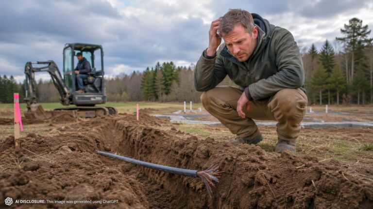
Photo credit: AI-generated image created using ChatGPT. Illustrative only.
He’d already done the responsible homeowner thing years ago: pulled permits, hired a local engineering and surveying firm, and built his workshop with breathing room off the line. So when he came home and found a crew cutting down trees along what he understood to be his property edge, it didn’t feel like a minor misunderstanding. It felt like someone had skipped straight to the “we’re doing it anyway” phase.
In the original post, the homeowner lays out how a friendly relationship with a previous neighbor turned into a tense standoff after a new owner moved in and started planning a garage close to the boundary. The new neighbor’s confidence wasn’t coming from courthouse records or pinned monuments. It was coming from phone apps and online map overlays that seemed to show the line cutting into the homeowner’s driveway—and even putting part of his existing workshop on the “wrong” side.
Seven years ago, he tried to do everything by the book
The workshop wasn’t a quick weekend shed job. Before construction, the homeowner says he asked the then-neighbor if they minded a building going up between their properties and slightly in front of the neighbor’s house. The answer was basically: go ahead.
He then hired a surveying firm. He remembers the surveyor pulling documents from the township, comparing them to the deed, and locating physical pins—monuments in the ground—starting with pins in the road and then continuing along the property line. The pins were described as 1.5-inch pipe driven into the soil with flagging.
After verifying measurements, the surveyor staked the line and ran string to show it clearly. The homeowner even drove some unofficial rebar markers near where the shop would sit, worried that kids or dogs might pull a stake out. When the shop went up, it was placed about six feet from the line—one extra foot beyond the then-required five-foot setback, just to be safe.
Then the neighbor changed, and so did the tone
Time passed. The “awesome neighbor” retired and moved away. A new neighbor moved in, and at first things were friendly enough.
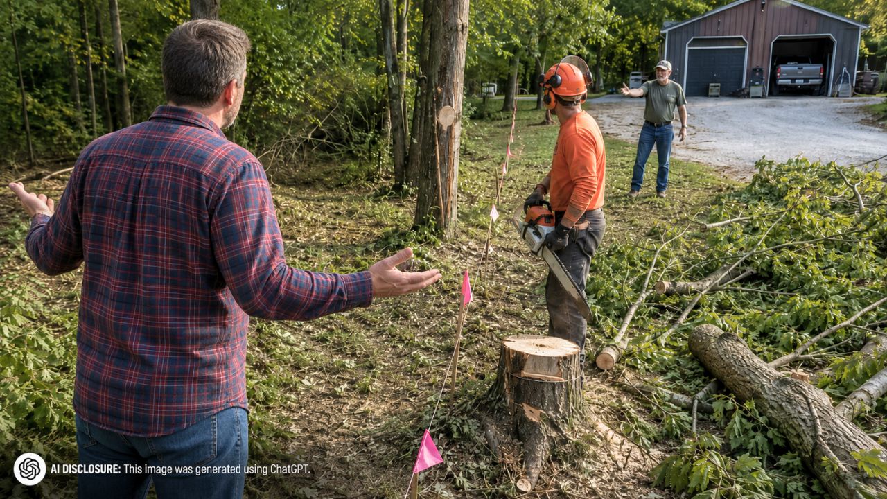
That didn’t last. One day the homeowner came home to a crew cutting down trees along the property line. The reason: the new neighbor was planning a garage near that same boundary. And in the neighbor’s view, the boundary wasn’t where the stakes and pins were—it was where Google Maps and OnX suggested it might be.
The new neighbor and contractor claimed those map lines pushed the property boundary farther into the homeowner’s lot. In their version, half the homeowner’s driveway and part of his shop were now sitting on the neighbor’s land.
A phone app versus iron pins in the dirt
The homeowner didn’t treat the map argument like a harmless mistake. He describes a roughly 40-minute argument on-site, where he showed the contractor and neighbor the pins the earlier surveyor had verified. His point was simple: phone GPS overlays are not a construction layout tool, and the “line” on a screen isn’t a precise boundary you can dig to.
He also tried to make the issue concrete: if the neighbor believed the phone so strongly, mark the line on the driveway in paint. The neighbor couldn’t, because the digital line wasn’t a real, on-the-ground measurement. It was just a broad visual approximation that looked convincing from a distance and got shaky the closer you tried to make it “real.”
Meanwhile, work was creeping forward. The neighbor’s contractor had already placed corner markers about a foot onto what the homeowner believed was his property for foundation footers. That was the part that turned a loud argument into a real problem: it wasn’t just trees anymore. It was excavation and concrete—stuff that’s expensive to undo once it’s in.
Setback rules changed, and suddenly the stakes got higher
There’s another layer that made this boundary fight feel more threatening. After the homeowner built his shop, the township’s side-yard setback requirement changed. It used to be five feet. Within the last year, it changed to 15 feet.
His own shop was permitted and placed based on the old rules, sitting about six feet from the surveyed line. But watching the new neighbor attempt to push the boundary inward—while also planning a structure near the edge—made him feel like he was being boxed in.
Even if the garage was technically on the neighbor’s land, the homeowner didn’t want it crowding the property line after all the pushback. And after being pressured about his own building’s positioning, he wanted the neighbor to set their new garage back the full 15 feet.
It wasn’t that he opposed the neighbor having a garage. He just didn’t want any part of it—footers, overhangs, or “close enough” corners—ending up on his side.
He put it in writing and forced a pause
Instead of letting the argument drift into a “we’ll see” mess, the homeowner sent a certified letter telling the neighbor they needed to get the line resurveyed if they wanted to continue construction. That formal step mattered, because it created a paper trail and set a clear boundary: stop building until the boundary is confirmed by someone qualified.
According to the homeowner, the work stopped that day. The neighbor said they were waiting on someone to come out and resurvey the line.
But the pause didn’t settle his nerves. His big fear wasn’t only that a new survey might vary slightly. It was the worry that the neighbor might hire someone careless—or worse, someone willing to “adjust” a result. He’s not claiming that happened, but he’s clearly anxious about it, especially with so much already built and with a changing code environment that makes setbacks a bigger headache than they used to be.
What people kept coming back to: surveys aren’t guesswork
The homeowner’s question is one a lot of rural and suburban property owners quietly wonder about: how much can surveys vary, and how “final” is a prior survey if someone else pays for a new one?
Even without a full comment thread included in the source material, the practical theme is baked into the story itself. The homeowner trusted the process because it wasn’t based on a floating digital boundary. It was based on deeds, township records, measurements tied to known points, and physical monuments in the ground—pins that existed before his workshop ever did.
And that’s why the Google Maps claim hit such a nerve. It wasn’t just wrong in his mind; it was the kind of wrong that gets people hurt financially. Trees get dropped. Trenches get dug. A crew gets paid. Then someone realizes the assumption was bad, and now the “fix” involves concrete, attorneys, and years of icy silence across the yard.
For now, the homeowner is waiting for the resurvey the neighbor requested, hoping it confirms what the earlier pins and stakes already showed. The crew has stopped, but the tension hasn’t. Once you’ve watched someone cut trees along your line and suggest your driveway and shop might not even be yours, it’s hard to go back to small talk over the fence.
Like Fix It Homestead’s content? Be sure to follow us.