Hunter Buys 199 Acres for $275,000 Knowing Nothing About the Area’s Disputes — Then a Court Routes the Landlocked Neighbor’s Access Straight Across His Tract
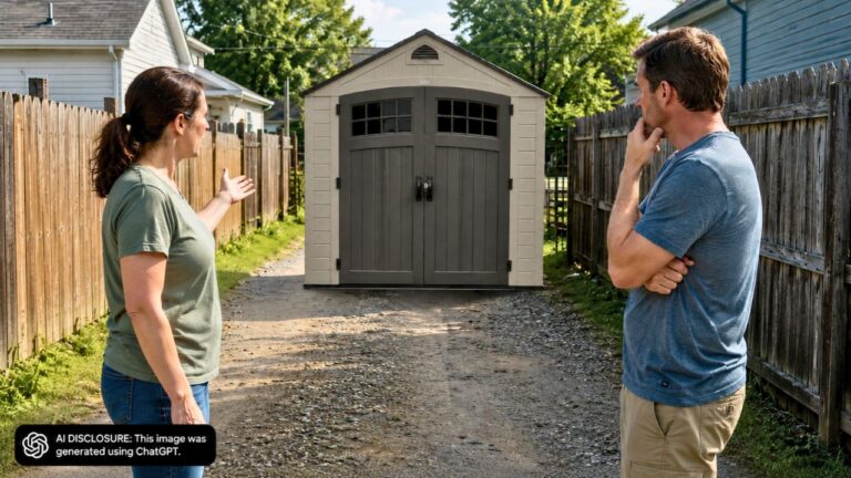
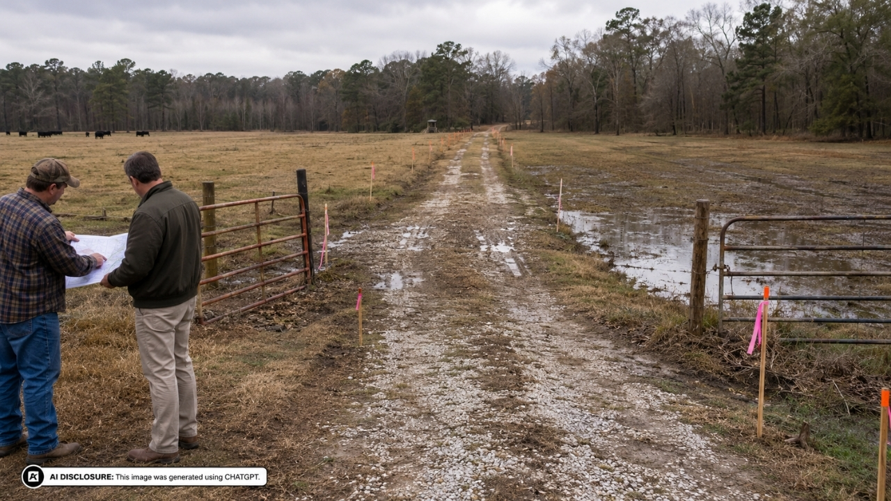
Photo credit: AI-generated image created using ChatGPT. Illustrative only.
Buying rural acreage is supposed to be the simple kind of dream: a gate, a gravel drive, a place to hunt, maybe a little timber, and no one close enough to complain. But in Union Parish, Louisiana, one land purchase turned into a forced-road fight where the newest big landowner learned—after the fact—that “quiet country” can come with very loud access rights.
The court record reads like the kind of property dispute locals warn you about at the feed store. In the source post, the Louisiana Court of Appeal upheld a trial judge’s decision that gave a landlocked hunter a legal passage across neighboring property—despite flooding, fences, and competing routes that would push the road near homes and expensive farm infrastructure.
A landlocked hunting tract doesn’t feel urgent… until someone shuts the gate
Carter Heith Dupree bought a 40-acre tract back in December 2001 for $20,000. He knew what he was buying: landlocked ground, prone to flooding, sometimes difficult to reach during hunting season. Still, for years, he got by using a pipeline right-of-way across neighboring land to reach his property.
That kind of informal access is common in rural areas—right up until ownership changes. In 2012, David Saunders bought an adjoining 199-acre tract for $275,000. Later, Riverview Cattle Company acquired another 660 nearby acres in 2020 for $2.35 million. And once the properties changed hands, Dupree’s “this is how we’ve always gotten in” route stopped being treated like a neighborly courtesy.
Saunders denied Dupree access. What used to be a bumpy, taken-for-granted way in became a hard stop—exactly the kind of moment that turns a landlocked purchase into a real problem instead of an occasional inconvenience.
Louisiana’s forced-passage rule: you can’t trap land with no road
Louisiana law gives owners of property with no access to a public road the right to demand a passage across neighboring land. It isn’t free. The neighbor who has to host the passage is generally owed compensation, and the route is supposed to be chosen to be the shortest practical way that causes the least injury to the surrounding property.
That last part—“least injury”—is where these fights get personal. A road isn’t just a line on a map. It can split a tract in half, change how you can fence cattle, invite trespass issues, create maintenance problems, and turn a private corner into a drive-by.
Here, the judge had three proposed routes to choose from, and every one of them had a downside someone would have to live with.
Three routes, one swampy reality, and a lot of money sitting on the line
The options were presented as Route A, Route B, and Route C. On paper, the distances were close enough to make people argue over a few feet—until you factor in flooding, construction, and what the road would cut through.
Route A (about 4,522 feet) used portions of Riverview’s improved dirt-road system. It offered more reliable, all-weather access and avoided some of the worst flooding. The catch was that Riverview had already invested heavily in that land—about $250,000 in improvements like dirt-road work, excavation, culverts, piping, and roughly three miles of infrastructure. Putting a legal passage into that mix raised the risk of messing with an engineered irrigation system and day-to-day farming operations.
Route B (about 5,068 feet) followed the old pipeline corridor, but it came with a different kind of problem: it cut right through property that included a residence and horse facilities. That land belonged to Kevin Cope and Armonda Crist, who had built a home, rescue-animal operations, a cabin for their son, and other improvements. They testified that regular traffic would substantially interfere with their privacy and enjoyment of their home. In plain terms, Route B turned someone’s front-yard peace into everyone else’s shortcut.
Route C (about 4,519 feet) tracked much of the pipeline route and then turned north toward Longfield Cemetery Road. It was basically the “keep it away from the house” route, but it didn’t escape the biggest practical issue in the case: floodwater.
Flooding wasn’t a side detail—it was the daily “can you even drive it?” question
People testified that portions of Routes B and C could see water rise seven to eight feet twice per year, and as high as 16 feet for extended periods. If you’ve ever tried to keep a rural road passable through low ground, you know what that means: ruts, washouts, stuck trucks, and the constant debate over who’s going to bring in rock and run a dozer.
But testimony also indicated Route C could still be used by pickup trucks or ATVs during many of those conditions. And Dupree had a track record there—he’d used Route C for 11 or 12 years for timber-related access before a fence eventually blocked it. That history mattered, because it showed the path wasn’t some brand-new idea dreamed up in court. It was an old way in that had gotten shut down.
Saunders pushed hard for Route A, arguing it was shorter and more practical with improved, year-round access. From a “build the best road” standpoint, that argument makes sense. But property fights aren’t judged only by convenience. They’re judged by who gets hurt the most when the line gets drawn.
The judge picked Route C, and the appeal court wouldn’t undo it
The trial judge chose Route C, calling it the shortest practical route and the least injurious overall. Even though the measurements between Routes A and C were separated by only a few feet, the court wasn’t convinced Route A’s distance had been calculated cleanly—there were issues about the supposed starting point and uncertainty about the precise endpoint of Loch Lomond Road.
On appeal, Saunders tried to flip the decision by emphasizing practicality and flooding. But the appeals court made an important point for anyone who owns rural land: the law doesn’t require a judge to just grab the absolute shortest measurement and call it done. Courts can weigh harm to neighboring land, existing structures, construction realities, historical use, and the broader circumstances.
Saunders did score one partial win. The trial judge had relied partly on personal experience to estimate culvert costs on Route A, and the appeals court agreed that was improper—construction costs in dispute need evidence, not a judge’s gut estimate. Still, that error didn’t change the result. The record supported Route C based on distance, property damage concerns, historical use, farming impacts, and overall practicality.
The judgment was affirmed, and Saunders was assessed the costs of the unsuccessful appeal. On the ground, that means the access is no longer a neighborly favor or a “maybe if the gate’s open.” It’s a court-ordered passage.
The homeowner reaction you hear every time: “Get it in writing, and get a survey”
This kind of case always triggers the same practical talk among landowners: don’t buy acreage without understanding access, and don’t rely on handshake routes that can vanish with a deed change. When someone spends $275,000 on 199 acres, they’re usually picturing control—fences where they want them, roads where they want them, and no surprise traffic cutting across the tract.
But when a neighbor is landlocked, the “control” part comes with legal limits. And when you’re the landowner who ends up hosting the passage, the details become everything: where exactly the route runs, what gets disturbed, how flooding and maintenance are handled, and how you protect your improvements and operations from constant wear and unplanned access.
What makes this dispute feel so familiar is that it’s not really about hunting. It’s about roads—who gets one, who pays for it, and whose land takes the hit. In rural living, that’s the difference between property that feels like freedom and property that feels like you bought someone else’s problem along with your own.
Like Fix It Homestead’s content? Be sure to follow us.