Landowner Says a New Fence Cost Him an Acre Worth $12,000 — Then He Claims the Survey Markers Were Deliberately Pulled Out Twice
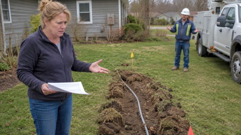
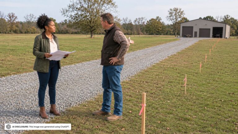
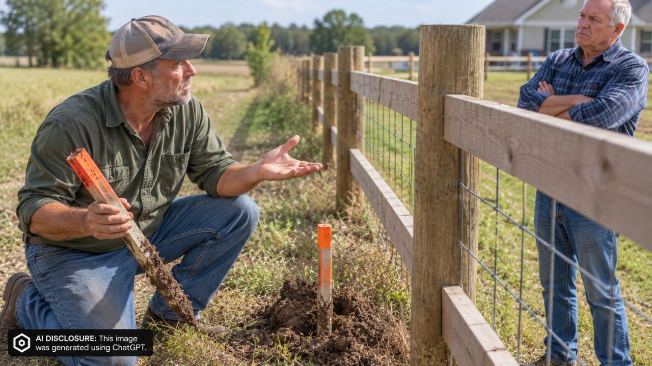
Photo credit: AI-generated image created using ChatGPT. Illustrative only
When you’ve got more than a mile of fence separating two working farms, you don’t notice every change right away. You notice it when a gate doesn’t line up, when a planter pass feels tighter than it used to, or when the “old line” suddenly looks like it’s drifting.
That’s the kind of slow-burn problem behind an Iowa farmland dispute that ended up in the courts. In the court record, landowner Larry Lewis said his neighbor’s rebuilt fence cut six to eight feet into his side—about an acre of ground he valued at $12,000—then accused the neighbor of pulling out survey markers not once, but twice.
The fence came back… but not where he expected
Larry Lewis owned farmland in Monroe County, Iowa, and Tom Jimenez farmed the adjoining ground to the east and south. Between them: roughly 1¼ miles of fencing, the kind of shared boundary that isn’t just a line on paper—it affects cattle, equipment passes, spraying, and where each person thinks they can work without asking permission.
One key stretch of fence had historically been treated as the boundary. Back in 2015, Lewis and Jimenez agreed to take that section out, clean up the line, and rebuild it in the same place. Except the rebuild didn’t happen right away. It wasn’t until 2021 that a new fence went up.
That’s when Lewis said the trouble started. He claimed Jimenez aimed the new fence toward the wrong gate post and effectively pushed the fence line onto Lewis’s property.
The “one acre” problem on a working farm
People who don’t farm sometimes hear “six to eight feet” and think it’s a petty argument. But on farmland, a few feet over a long run adds up fast—especially if you’re planting and harvesting right up to the edge every year.
Lewis put a number on it: roughly an acre lost, worth about $12,000 in his view. That isn’t just pride-of-ownership money. It’s ground that produces, ground that gets tiled or terraced, and ground that can become “normal” for the other side to farm if it stays that way long enough.
So Lewis hired a surveyor. The survey helped him—at least at first glance. The district court said the survey suggested the north end of the rebuilt fence didn’t line up with the deed boundary and appeared to encroach onto Lewis’s property.
Why a survey didn’t automatically win the case
In a lot of property-line stories, a survey feels like the end of the argument. Measure it, mark it, done. This one didn’t go that way.
Jimenez testified that the fence had essentially followed the same farming line since at least 1999. And even during the six-year gap when there was no physical fence, both sides kept planting and harvesting up to that old visible line. Aerial photos and testimony from Jimenez’s tenant backed up that account.
That history matters because it points to something rural neighbors run into more than they want to admit: when a line is treated as the line for decades, it can become the line in practice, even if a deed description says something else. The trial court suggested the strip may have been treated that way for 20 years or more—long enough to raise the idea of boundary by acquiescence.
Here’s the nuance that tripped up the “the neighbor stole an acre” narrative: the judge didn’t formally decide the legal boundary at all. The court said the true boundary wasn’t before it and it wasn’t issuing a definitive boundary-by-acquiescence ruling. What the court did decide was narrower: Lewis didn’t prove Jimenez intentionally trespassed by rebuilding the fence where he did, given the long history showing that line had been treated as the boundary.
The Iowa Court of Appeals agreed and upheld the dismissal of the trespass claim, pointing to the trial judge’s credibility calls and the evidence supporting Jimenez’s version of the fence’s history.
The survey-marker fight: rebar, equipment, and a second round
After the survey, the dispute turned physical in a different way—where you put markers, and what happens to them when the other guy is still farming the ground.
Lewis’s surveyor placed rebar rods along the line on land Jimenez had historically farmed. Jimenez removed them, saying he was worried they could damage his equipment. He measured where each rod had been and marked the distances on the fence with duct tape.
Then, when new rods appeared later, Jimenez handled it differently: he drove the rods down into the ground instead of leaving them sticking up. Lewis framed it as illegal removal of survey “monuments.” But even Lewis’s own surveyor testified that these rebar markers were not technically survey monuments under Iowa law. They were line markers, not the statutory monuments set at corners or established survey points.
That difference mattered in court. The monument-destruction claim failed too.
It wasn’t just the fence: spray drift, runoff, and “who pays to make it cattle-tight?”
The fence line wasn’t the only thing Lewis blamed on his neighbor. He also claimed herbicide drift from spraying on Jimenez’s farm damaged his soybeans and corn in 2021 and 2022. His custom farmer estimated lost yields at about $8,500, saying the crops near the boundary died or performed poorly.
But the trial court wasn’t convinced the yield maps proved the damage was concentrated along the boundary or that herbicide from Jimenez’s farm caused it. There were also questions about how combine data affected those maps. The appeals court agreed: the crop-loss claim wasn’t proven by a preponderance of the evidence.
Lewis also pointed to water runoff, arguing that terracing, tile work, and additional dirt on Jimenez’s higher ground sent extra water onto Lewis’s farm, carving erosion and large ditches. Lewis claimed more than $25,000 in remediation costs for bulldozing, dirt fill, and drainage work. Again, the court said there wasn’t neutral expert testimony tying Jimenez’s work to the specific runoff and erosion damage Lewis described.
And then there was the kind of practical, everyday argument that drives rural neighbors up a wall: what counts as a “good enough” fence. Lewis said Jimenez’s portion wasn’t cattle-tight—rusty barbed wire, too many splices, posts too far apart—and claimed about $13,500 in lost grazing damages plus roughly $11,800 to fix it.
That claim didn’t fail because the fence was proven perfect. It failed because, under Iowa law, there’s no general common-law duty forcing a neighbor to fence their property to your preferred standard. Partition-fence obligations can kick in after a written request or written agreement, and there’s also a local “fence viewer” process. Lewis hadn’t taken the steps that trigger those obligations, and the court found Jimenez had no legal duty to rebuild to Lewis’s specifications.
How people reacted: “paper trails beat driveway arguments”
If you’ve lived through a boundary dispute, the pattern here feels familiar: one side thinks the other is brazenly taking ground; the other side thinks they’re being accused of moving a line that’s been “the line” forever.
The practical reaction most property folks have to a story like this is less about who’s right and more about timing and documentation. Once a fence is down for years, and both sides keep farming to a visible “old line,” that’s when the fight gets hard to unwind. It’s also why people push written agreements when fences are removed, photos before and after work, and clear communication about what counts as a boundary marker versus a temporary stake that can become a hazard for equipment.
There’s also an unglamorous reality in the marker dispute: anything sticking up in a field is going to meet a machine eventually. That doesn’t excuse removing markers if they’re legally protected monuments—but it explains why the court cared about what those rebar rods actually were under the statute.
In the end, Lewis lost every claim—trespass, crop damage, runoff, fence maintenance, and the survey-marker complaint. The fence may still not match what Lewis believes the deed boundary shows, but the courts focused on what he could prove in this lawsuit: not a definitive new boundary line, but whether his neighbor’s actions amounted to intentional trespass and other legal wrongdoing. For two farms separated by 1¼ miles of wire, that’s a result that leaves the underlying tension right where it started—out on the line.
Like Fix It Homestead’s content? Be sure to follow us.