Neighbors Find the Family Next Door Claiming the Shared Beach by Deed — Then a Judge Uses 1890s Subdivision Maps to Grant Them an Easement
Photo credit: AI-generated image created using ChatGPT. Illustrative only.
It starts the way a lot of neighbor property blowups start: you’ve got a familiar footpath, a routine walk down to the water, and a shared understanding that the beach is part of why everyone bought in. Then one day someone decides the “shared” part is over—because they have paperwork.
That’s the fight now headed to Maine’s highest court in a seasonal neighborhood called Popham Beach Estates in Phippsburg, where two families have been battling since 2022 over who gets to cross and use a stretch of beachfront land. The details, including how decades-old subdivision drawings got pulled into the argument, are laid out in the original post.
A beach path that felt “normal” until it didn’t
In this neighborhood, the Hill family owns six properties, including five rental cottages that aren’t directly on the beach. For years, they say they’ve used an established footpath to reach the water—exactly the kind of informal routine that becomes “the way it’s always been” in older vacation communities.
The Tappen family saw it differently. Richard Tappen claimed he acquired rights to the beachfront property through a release deed, and the Tappens sued to stop the Hills and their renters from using the area. If you’ve ever lived near a shared access point—lake, pond, beach, even a shared driveway—you know how fast a friendly “go ahead” can turn into a hard “no trespassing” once rentals and summer crowds enter the picture.
The Hills responded with a counterclaim, arguing that the neighborhood beach was fair game. That’s when the fight stopped being about who said what at the path entrance and became about maps, intent, and what a “beach” even means on paper.
When a deed meets years of habits, somebody calls a lawyer
The core tension here is practical: if your cottages aren’t beachfront, access is everything. It affects rental appeal, family routines, even whether you feel like you live in the same neighborhood you bought into. Cutting off that access doesn’t just change weekend plans—it can change property value and the vibe on the road overnight.
The Tappens have said they believe the Hills are trespassing. In earlier statements in the case, one of the Tappens’ attorneys said Richard Tappen was concerned about protecting dunes from erosion. That’s not a small point on a Maine coast—foot traffic, repeated paths, and summer use can chew up fragile areas quickly, and once the dune line starts failing, the damage can spread beyond one lot.
But the Hills weren’t arguing for a one-time exception. They were arguing for a right—something that travels with the land and doesn’t depend on whether the neighbors are getting along that season.
The judge didn’t redraw the boundary—he focused on how the place was designed
A trial court judge, Superior Court Justice Thomas McKeon, made a partial call in November: the Hill family could access the beach for recreation. He did it by granting what’s called an “implied easement,” essentially finding that the right to use the beach was baked into the development even if it wasn’t spelled out in a modern, bright-line way.
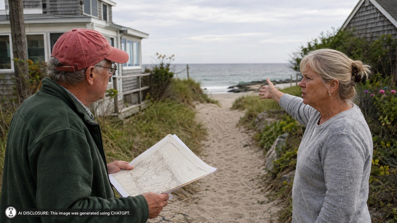
What made this feel like a homestead-era mystery novel is what McKeon leaned on: subdivision maps from the 1890s and the existence of paths leading to the beach. The ruling said it “seemed developers in the 1890s intended the beach to be a common area,” based on those old plans and how the neighborhood is physically laid out.
At the same time, McKeon declined to decide the exact boundary surrounding the beachfront land at the center of the fight. That’s a real-world headache for neighbors, because boundaries are where fences go, where “private” signs go, and where people start putting up cameras. Leaving that line fuzzy can keep the peace temporarily, or it can invite a fresh round of arguments—depending on how everyone behaves through the next summer.
The appeal hinges on what “beach” means in Maine
The Tappens appealed, and their attorney, Glenn Israel, argued before the Maine Supreme Judicial Court that McKeon was wrong to rule for the Hills and that the Hills didn’t meet the burden to prove their case.
Israel’s argument leaned on a very Maine-specific legal reality: he said that when a subdivision plan refers to a “beach,” it should mean the area between the high tide and low tide marks—something he called a settled definition in Maine since the 1800s. That definition matters because Maine has a long-standing rule that the public can use the intertidal zone for “fishing, fowling and navigating,” based on a colonial-era ordinance upheld repeatedly by the high court.
In other words, one side is pushing for a narrow, traditional legal meaning tied to tide lines, while the other side is pointing at a vacation-home subdivision’s layout and saying, “This was designed for people to actually use the beach.” And the practical gap between those ideas is where neighbor relationships go to die—because families aren’t walking down to the water to do legal categories. They’re walking down to swim, sit, and let the kids run.
The justices zeroed in on intent—and the name on the map
During arguments, Chief Justice Valerie Stanfill pushed back on the idea that McKeon’s easement ruling was incomplete. She pointed to the materials McKeon reviewed, including various maps that “show a large beach,” and she also pointed to the obvious: the subdivision is called “(Popham) Beach Estates.”
Stanfill said, “The clear intent of the developer was to develop a set of vacation homes,” and questioned why that would flip the burden of proof the way the Tappens argued. It’s one of those courtroom moments that homeowners instantly recognize: the paperwork says one thing, the place itself screams another, and everyone is trying to get the judge to agree on what’s “obvious.”
The Hills’ attorney, Benjamin Ford, argued that the subdivision plans suggest the area was always intended to be common. He also argued the Hill family has used the beach and footpath for so long that they’re entitled to the implied easement—basically, that the long pattern of use matches the original design.
The reactions are exactly what you’d expect from property-line veterans
When beach access turns into court filings, people who’ve lived through easement fights tend to land on the same set of instincts: document everything and don’t rely on vibes. The whole case is a reminder that the friendliest shared space can turn into a hard boundary dispute once a deed, a rental operation, or a new interpretation of old paperwork enters the chat.
It’s also the kind of dispute that makes neighbors start thinking in objects instead of feelings—maps, plans, paths, signs, dunes, and where feet actually hit the ground. The fact that 1890s subdivision drawings are now central evidence is the part that will make any longtime property owner nod. Sometimes the only “receipt” that matters is the one drawn by a developer who’s been dead for a century.
There’s no deadline for the high court to decide whether McKeon’s recreational easement ruling stands. And hanging over everything is a separate, broader lawsuit the justices are considering that aims to expand Maine’s beach law to include “recreation.”
Meanwhile, the day-to-day reality in a place like Popham Beach Estates doesn’t pause for legal schedules. Summer renters show up. Families look for the old footpath. Dunes keep shifting. And neighbors keep watching to see whether the next walk to the beach feels like a normal part of owning a cottage—or like stepping into someone else’s yard.
Like Fix It Homestead’s content? Be sure to follow us.