Hunters Drive the Half-Mile Road They Have Used for Years to Reach Public Land — Then Find a New Gate Closing Off 1,450 Acres
Photo credit: AI-generated image created using ChatGPT. Illustrative only.
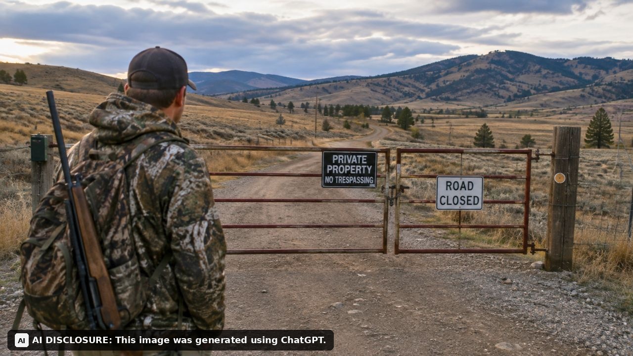
You know that feeling when you’ve got a routine so dialed in you could do it in the dark—turn here, bump down that half-mile stretch, park, and you’re on public ground? That’s what a group of hunters around Laurel, Montana thought they had on Spring Creek Road. Then they rolled up and found a new gate across the route they’d used for decades to reach a patchwork of state and federal land.
The details come from the source post, and the story reads like the rural version of “shared driveway turns into a full-blown war.” Except the “driveway” is a short road segment that leads to roughly 640 acres of state land and nearly 870 acres of adjoining BLM parcels—country people have counted on to hunt, walk, and get away from town without needing anyone’s permission.
The gate wasn’t just a barrier—it changed how people used the land
Spring Creek Road sits about 8 miles southeast of Laurel, near the intersection of Spring Creek and Moser Dome roads. To get to the public land, you travel about a quarter mile across private property before the road continues through the state section and toward three BLM parcels.
For locals like Curt Lord, former president of the Laurel Rod and Gun Club, that half-mile drive wasn’t a theoretical access point—it was where he took his family. He described hunting that state section because the coulees off the sides tend to hold deer, and most people don’t walk far off the road. It was close enough to be practical, which matters when hunting is something you fit around work, weather, and family schedules.
Now, with a gate in place, “practical” becomes “not happening,” unless you’ve got permission or another route. And in a place like this, alternate routes often aren’t real options; they’re longer, rougher, or they don’t exist at all.
A new owner bought the missing piece—and decided he’d had enough
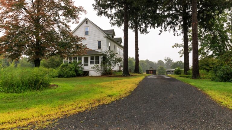
The landowners who put up the gate, Jay and Twila Craig, bought an 80-acre parcel in 2023. Jay Craig said they purchased it because they already owned parcels on three sides—basically tightening up a checkerboard into something more like a single block.
Craig also said he leases the adjoining state section for farming and grazing and has done so for at least a decade. From his perspective, the road wasn’t some long-promised public pathway. He said, “That road has never been an easement for the public. It’s always been a landowner-use easement.” In his telling, the previous owners didn’t live there for decades, and because they weren’t around, people used the road however they wanted.
That’s the part that will feel familiar to anyone who lives rural: absentee ownership can turn into informal public use, and informal public use eventually turns into “everybody thinks this is theirs.” Then a new owner shows up and tries to put the genie back in the bottle.
Vandalism and damage piled up until the fix was a locked gate
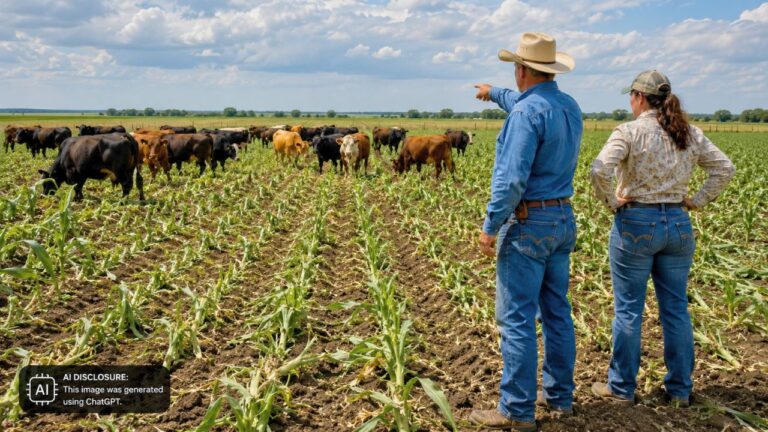
Craig didn’t describe the gate as a power move. He described it as a last resort after years of property damage that reads like a checklist of rural headaches: cut fences, vehicles across crops, gates torn down, a grain bin shot full of holes and even cut with an ax.
He said the road itself was getting rutted up by vehicles, with people getting stuck, leaving trash, and—most seriously—stealing vehicles and fuel. He said he tried reaching out to law enforcement and felt ignored, adding that at one point he was accused of harassing someone who was shooting up his grain bins and fence posts.
From a homestead/homeowner perspective, you can see the blunt math here. If you’re the one repairing fence lines, re-hanging gates, dealing with crop damage, and constantly wondering what’s going to be wrecked next, a gate is cheaper than another season of replacing what strangers break.
But if you’re on the other side—someone who used the road responsibly for years—it feels like punishment for someone else’s mess.
The paperwork fight: “We maintained it” versus “show us it’s public”
After the gate went up, Lord brought the issue to the Public Land Water Access Association (PLWAA), a group known for jumping into access disputes in Montana. PLWAA president Dylan Pipinich sent a letter to the Yellowstone County Commission in January asking the county to take “immediate action to reopen the road,” including removal of and penalties for “encroachments.”
The county’s response, through Steve Williams (chief in-house counsel for the Yellowstone County Attorney’s Office), basically came down to: we can’t make a private landowner remove a gate unless we have proof this stretch is a public road. Williams said the county found no documentation showing the road north of Section 36 was established as a public road through petition, dedication, easement, or adjudication. Without that affirmative documentation, he said, it defaults to private.
PLWAA pointed to a right-of-way deed dated July 30, 2010, signed by two county commissioners, showing Yellowstone County paid $6,471 to the state for a right-of-way for a “public county road known as Spring Creek Road” across state lands. A former county road worker also told the paper he graded, plowed, and graveled the road across the state section over a 30-year career and said, “That road was always a public road, forever.”
Williams pushed back that the county’s purchased right-of-way was only for the road across state land, not the private half-mile segment that gets you there. In other words: yes, there’s a maintained road on the public parcel—but the choke point is on private ground, and the county says it never formally made that part public.
Pipinich called that illogical, noting the right-of-way language includes maintenance and weed management responsibilities. Because why buy and maintain a “public county road” if you can’t legally reach it?
Locals weren’t just mad—they were worried about precedent
David Green, a Laurel Rod and Gun Club member, said in an email that county commissioners “need to be held accountable” for access to public hunting lands that rely on roads. That’s the neighbor-to-neighbor version of what access advocates have been saying for years: if the paperwork isn’t clean, a single gate can effectively erase thousands of acres of public opportunity.
PLWAA’s executive director, Alex Leone, said this kind of gated-off “short section that blocks a lot” has become a familiar pattern in Montana over the last couple decades. He said PLWAA received 39 complaints in the last year alone, with about a dozen related to stream access issues.
Leone blamed part of the uptick on demographic shifts—new residents buying former ag land for amenity purposes—and also on county offices being overwhelmed, especially in rural areas. Even when counties do step in, he noted, some landowners stay defiant. He pointed to Ravalli County’s Hughes Creek Road fight, where two Montana Supreme Court rulings found the road was illegally gated, yet the landowner still resisted and even posted a sign threatening to shoot trespassers.
That’s the tension underneath the Spring Creek Road mess: nobody wants their fences cut and their equipment shot up, and nobody wants public land turned into “public, but only if you know the right person.”
For now, the gate is doing what gates do—deciding who gets through and who turns around. And for the people who used that half-mile road as their simple route into open country, the real problem isn’t just losing a convenient access point. It’s watching how fast a decades-old routine can disappear when the only “proof” anyone recognizes is a document someone can’t find.
Like Fix It Homestead’s content? Be sure to follow us.