Landowners Pay a Surveyor to Map the .19 Acres in Dispute — Then the Court Sends the Same Surveyor Back Two Years Later
Photo credit: AI-generated image created using ChatGPT. Illustrative only.
It started like a lot of rural property-line headaches do: one yard slowly “becomes” bigger than what the deed says, because everybody treats a slope, a tree line, or a stretch of grass as the obvious boundary. Then someone new comes along, asks where the line actually is, and suddenly the stakes aren’t just pride—they’re dirt, access, and money.
In eastern Ohio, Gerald and Sharon Adams ended up on the winning side of that kind of fight, gaining legal ownership of about 0.19 acres they’d been using for years. The messy details are laid out in the source post, and one detail stands out for homeowners: landowners paid for a survey to pin down the disputed strip, and later the court sent that same surveyor back again to do more work and nail the description down properly.
The “yard” included propane, water lines, and a hillside that needed constant work
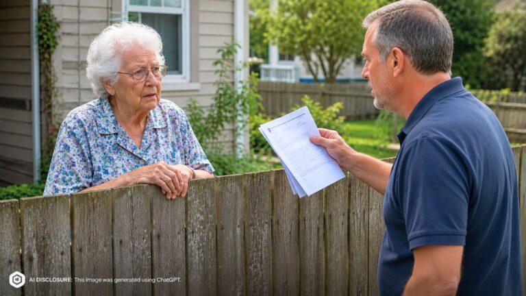
The Adamses moved in next to what became Rickey Flinn’s property back in July 1998. They said the previous owner told them the land in question went with their home, and they acted accordingly—treating it as an extension of their yard year after year.
This wasn’t a case of “we mowed a little over the line sometimes.” The Adamses had a propane tank and water lines on the disputed ground. They graded the area, landscaped it heavily, planted and removed trees, built retaining walls, and repaired a slipping hillside. They put up bird feeders and bird baths and kept flower beds going.
And then there was the detail that makes it feel especially like a long-lived homestead property: they created and maintained a pet cemetery there, with stone markers, used since at least 2002. By the time the case reached court, they said they’d spent more than $20,000 grading and landscaping that area over the years.
A new neighbor finally has paperwork—and the lines don’t match the lived-in reality
Flinn didn’t acquire his interest in the neighboring property until 2016, long after the propane tank, water line, and long routine of mowing and upkeep had become “normal” in the Adamses’ day-to-day life.
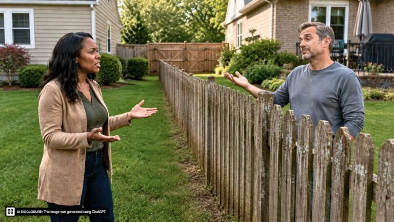
That timing matters because property-line disputes often don’t erupt until there’s a change: a sale, a refinance, a fence project, timber work, or someone wanting to build. Here, once Flinn owned the neighboring land, the relationship shifted from informal assumptions to “prove it.”
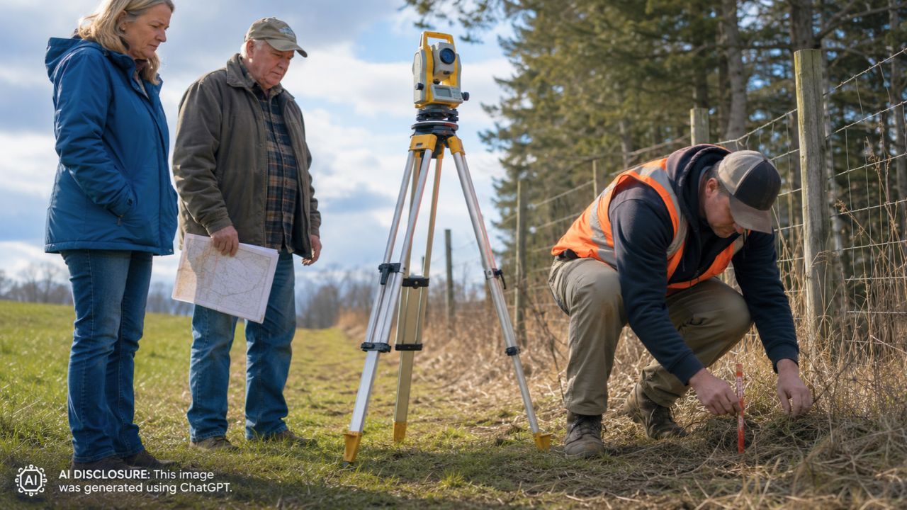
When a disagreement gets serious, the first real invoice usually isn’t for lumber or drainage pipe—it’s for a survey. A survey doesn’t just draw a line. It forces two neighbors to look at the same map and decide whether they’re going to live with it or fight about it.
The court split the disputed land into three areas—and the third one dragged everyone back
The Adamses sued in 2024 to quiet title, arguing they owned the land through adverse possession. In Ohio, that means proving, by clear and convincing evidence, that their possession was exclusive, open, notorious, continuous, and adverse for at least 21 years.
The disputed property was broken into three sections. The trial court granted the Adamses Areas 1 and 2 through partial summary judgment—about 0.1434 acres—covering things like the propane tank, landscaping, mature trees, and other improvements.
Area 3 was smaller—about 0.0508 acres—but it was the kind of slice that can eat up the most time because it’s where descriptions get fuzzy. Before the bench trial on that third area, there was an unusual twist: Flinn’s attorney filed a document acknowledging there was no dispute the Adamses satisfied the legal definition of adverse possession, leaving the exact property description as the main issue. Flinn later fired that attorney and represented himself.
And this is where the surveyor detail becomes painfully familiar to anyone who has watched a property fight turn into a paperwork marathon. After landowners pay to get a disputed patch mapped, the “map” isn’t always the last step. In this case, the same surveyor was later sent back by the court—two years later—to revisit and finalize the description work tied to that .19-acre fight.
What “exclusive use” looked like in real life: mowing, excavation, and stone markers
At trial over Area 3, witnesses described the Adamses excavating and grading the land, cutting and planting vegetation, repairing the hillside, and maintaining the pet cemetery. They weren’t using it like a no-man’s-land buffer. They used it like a yard: ordinary family activities, steady upkeep, and constant presence.
Their granddaughter testified nobody else had maintained the area for as long as she could remember. That kind of testimony lands differently than vague claims, because it matches what homeowners recognize as the routine proof of possession: who mows it, who plants it, who hauls the rocks, who fixes the washout.
Flinn’s own testimony didn’t help him. He acknowledged seeing the Adamses treat it as theirs, including cutting down trees, and admitted he had never maintained the disputed area himself. Even worse for his argument that the use was “permissive,” Flinn’s wife testified that she and Flinn knew about the Adamses’ use and disapproved of it—supporting the idea that the use was adverse rather than allowed.
The appeal didn’t change the outcome, and the “I paid taxes” argument didn’t land
After the judge ruled the Adamses established adverse possession of Area 3 as well, Flinn appealed on his own. He argued generally that their use had been permissive, intermittent, and nonexclusive, and that he had exercised ownership through activities like hunting, timber, livestock, and paying taxes.
The appellate court noted his brief didn’t develop legal arguments supporting those claims. But even stepping past that, the court said the evidence overwhelmingly supported the Adamses.
The court emphasized that the Adamses’ use included essentially every type of activity previously recognized as supporting adverse possession—plus more. The propane tank and water lines dating back to at least 1998, the landscaping and grading, the retaining walls, and the pet cemetery all pointed in the same direction: this wasn’t occasional use, and it wasn’t hidden.
The judgment was affirmed, giving Gerald and Sharon Adams ownership of all three disputed areas—about 0.19 acres total.
How homeowners reacted: “The survey wasn’t the end—it was the beginning”
When people swap stories about property lines, the practical reactions tend to sound the same: get documentation, take photos, save receipts, and don’t assume a long-standing routine will protect you without proof. This case reads like a cautionary tale for both sides of the fence line.
For the neighbor who thinks they “own it,” the record shows how decades of visible, expensive, physical improvements can turn into legal ownership—especially when the other side doesn’t maintain the land and can’t even say where the boundary actually is. For the neighbor who thinks they’re “tolerating” encroachment, disapproval without action can end up functioning like evidence that the use was hostile, not permitted.
And for anyone who believes paying for a survey ends the argument: this is the kind of dispute where the survey becomes a recurring character. The line on paper can kick off a fight, and even after it’s drawn once, a court can still send the surveyor back later to refine the legal description and lock the result into something that can be recorded and enforced.
In the end, a patch of ground smaller than a quarter-acre carried 27 years of mowing, grading, planting, and family history—and then years of legal cleanup. That’s the part that stings for homeowners: the land is cheap compared to the time it takes to prove who it belongs to.
Like Fix It Homestead’s content? Be sure to follow us.