New Homeowner Finds the Neighbor Contesting a Boundary Line Marked Just Three Days Earlier — Then County Records Confirm the New Survey Stakes Are Correct
Photo credit: AI-generated image created using ChatGPT. Illustrative only.
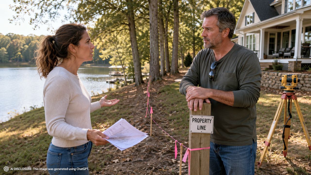
The survey stakes were barely in the ground before the neighbor started treating them like a mistake. One homeowner, still trying to get their arms around what they bought, suddenly found themselves staring at a new set of lines that didn’t just tweak the edge of the yard—it sliced off roughly a third of the property.
They laid out the details and their confusion in the original post, describing a tug-of-war between an older recorded plat and a newer survey commissioned by the neighbor. On paper, the newer work pushes the boundary in a way that would cost the homeowner a huge chunk of land, and it leans heavily on one phrase that shows up in the deed: the low-water mark of the lake.
The stakes went in, and the fight started immediately
In rural and lakeside areas, property lines can feel “soft” until a crew shows up and turns them into something physical. Stakes, flags, and fresh paint have a way of escalating neighbor relationships fast—especially when one side believes the markers are trespassing.
Here, the homeowner says the neighbor hired a surveyor, and the resulting layout doesn’t match what the homeowner expected from existing records. Instead of a minor correction, the change is dramatic: about one-third of the land appears to shift away from the homeowner’s side.
It’s the kind of move that doesn’t just change where you mow. It can change lake access, where you’re allowed to build, which trees you can cut, and even whether a shed, dock, or driveway suddenly becomes “encroaching.”
Two maps, two stories, and 50 years of confusion
The homeowner’s main anchor is a recorded plat from about 50 years ago—specifically a 1971 survey they view as credible and careful. In their mind, it’s not some sketchy hand-drawn document; it was prepared by an engineer they describe as reputable, someone who later became chair of an engineering department at the main university in the state.
The newer survey, though, follows a different logic. The new surveyor’s argument, as the homeowner understands it, is that the deed calls for the boundary to track the lake’s low-water mark. That’s a common kind of “natural monument” boundary, and it can override simple measured distances when documents conflict.
The homeowner isn’t denying that low-water language matters. Their frustration is that the older plat and deed references appear to treat at least one corner differently, and they can’t reconcile why one part of the description would be honored while another part gets reinterpreted.
The low-water mark argument sounded clean—until one corner didn’t fit
The homeowner zeroed in on a specific detail: the southeast corner. According to their reading of the deed, that corner is supposed to be at the low-water mark. But when they look at a plat referenced in the deed, the corner appears to sit about 50 feet back from the low-water mark.
That matters because, in their view, this corner is the only monument with a known location prior to the creation of the deed. So they’re asking a very homeowner-style, practical question: if the one known corner isn’t actually sitting on the waterline, why does the new survey insist that the rest of the monuments must be forced onto the low-water mark?
They also did their own homework measuring lengths off the documents using Bluebeam. When they follow the linework more like the 1971 survey did—rather than forcing everything to the lake—the deed distances come within about six feet of the description. That doesn’t “solve” it legally, but it adds to their sense that the old work wasn’t random.
When the monuments on the ground don’t match the deed
Nothing makes a boundary dispute feel more hopeless than walking out to a corner marker and realizing it doesn’t match what anyone says it is. The homeowner describes an existing monument at the southwest corner that’s out of the ground and leaning—already a bad sign if you’re trying to treat it as reliable.
Even worse, they say the deed describes an iron post, but what’s there now appears to be concrete. That mismatch pushes them toward a conclusion many homeowners eventually reach in these fights: somebody replaced something at some point, and nobody left a clear trail.
By contrast, the homeowner says the 1971 plat called out monuments with descriptions that matched the deed, which suggests to them that the surveyor at the time may have had access to original markers that are now gone or disturbed. And once original monuments disappear, every later survey becomes a puzzle built from partial clues.
Lawyers entered the chat, but nobody wants the scorched-earth option
The homeowner says they’ve hired a lawyer and believe they have a strong case based on adverse possession. That alone tells you how serious this is, because adverse possession is not a casual neighborhood disagreement—it’s the legal equivalent of admitting the paperwork may never fully make sense, so you’re leaning on long-term use and occupation instead.
But they also say they’d rather avoid going down that route. That rings true for anyone who’s lived next to someone they can’t simply block on a phone. Boundary lawsuits are expensive, slow, and personal. Even if you “win,” you still have to live next to the person who watched you do it.
So the homeowner is stuck in the middle: a new survey that moves the line dramatically, an older recorded plat that seems more stable, and the nagging feeling that the physical markers in the ground today aren’t the same ones the original paperwork was built around.
What other homeowners pushed: records, monuments, and not getting baited into a fight
The homeowner came looking for guidance from people who deal with boundaries for a living, and the themes are familiar in these disputes: focus on the controlling documents, identify which monuments are original versus replaced, and don’t treat a single map overlay like a final answer.
In plain terms, the practical advice that tends to matter most in this stage is documentation before confrontation. Keep copies of the deed, the referenced plats, the recorded 1971 work, and any newer survey drawings. Photograph stakes and monuments as they exist now, especially if any are disturbed, leaning, or out of the ground—because once things get moved, everyone suddenly “remembers” a different story.
And if the argument is truly about the lake’s low-water mark, the homeowner’s question hints at the bigger complication: water boundaries can shift over time, and different documents can reference different baselines. That’s exactly how a neighbor can look at one phrase in the deed and feel confident, while the person next door is staring at a decades-old plat and feeling like reality just changed overnight.
For now, the homeowner is still trying to make the pieces line up without immediately escalating to the most aggressive legal tool available. The stakes in the yard may look like a simple line, but the real line is the one between “we can sort this out” and “this becomes a permanent war over land no one can replace.”
Like Fix It Homestead’s content? Be sure to follow us.