Landowner’s Neighbor Hires a Surveyor Who Claims She’s Losing a Third of Her Property — Then a Fifty-Year-Old Recorded Plat Contradicts the New Survey Entirely
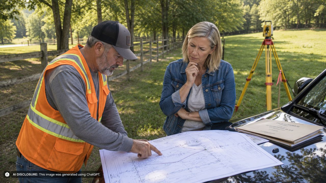
Photo credit: AI-generated image created using ChatGPT. Illustrative only.
It started the way these things usually start: a neighbor brings in a professional, a few flags show up, and suddenly the land you’ve treated as yours for years looks smaller on paper. In this case, the landowner says the neighbor’s newly hired surveyor drew a boundary that would cost her roughly a third of her property—despite a recorded plat from the early 1970s that shows a very different line.
Looking for sanity checks and practical guidance, she laid out the details and her overlays in the original post, including why the “new” boundary doesn’t just feel wrong emotionally—it appears to conflict with the one piece of documentation that was supposed to anchor everything.
A lakefront detail turned into a land-sized problem
This isn’t a dispute over a couple feet of fence drift. The neighbor’s surveyor is reportedly leaning hard on one phrase in the deed: the boundary should follow the low-water mark of a lake. On lakefront property, that language matters, because water boundaries can be messy, seasonal, and politically sensitive.
But the landowner noticed something that made her stop and zoom in. The deed calls for a southeast corner that should be at the low-water mark—yet a plat referenced in that same deed shows that corner about 50 feet away from the low-water line. In her mind, that’s not a tiny drafting error. That’s the difference between “follow the water” and “follow the line that was actually staked and recorded.”
And that southeast corner, she says, is the only monument with a known location prior to the creation of the deed. That’s what made the new survey feel less like a neutral measurement and more like a reinterpretation with real consequences.
The 1971 plat doesn’t just disagree—it tells a different story
The landowner isn’t arguing from vibes. She has a recorded plat from 1971 that, in her view, lines up with reality on the ground and the deed’s distances in a way the new survey doesn’t. She even measured distances off the documents using Bluebeam and found that if you don’t force the boundary to hug the lake’s low-water line, the deed lengths fall within about six feet of the description.
Six feet still isn’t perfect, but in the world of old deeds, changing monuments, and shifting shorelines, it can feel like a sign you’re at least in the right neighborhood. The new survey, by comparison, would reshape the parcel so dramatically that it effectively reassigns a huge chunk of what she believed she owned.
The emotional punch here is obvious. A third of your property isn’t just “extra yard.” It can be your access, your lake frontage, your ability to build later, your buffer from the neighbor, and the resale value you thought you were buying when you bought in.
When the corner marker in the dirt doesn’t match the deed
Then there’s the physical evidence—the kind homeowners get fixated on because you can touch it. The landowner says there is an existing monument at the southwest corner, but it’s out of the ground and leaning, and it doesn’t match the deed’s description.
Her deed calls for an iron post. What’s there now, she says, appears to be concrete. That difference matters because in boundary work, the whole case can hinge on which monuments are original, which were replaced, and which were never right to begin with.
In contrast, she says the 1971 plat called out monuments with descriptions that matched the deed. To her, that suggests the older surveyor may have had access to the original markers—markers that might be gone now or swapped out over decades of landscaping, erosion, plowing, or well-meaning “repairs” made by past owners.
This is the part that drives landowners crazy: modern equipment may be more precise, but precision isn’t the same thing as correctness if the starting assumptions are wrong.
Lawyered up, but hoping not to fight the ugliest way
The landowner says she hired a lawyer and believes she has a strong case through adverse possession. That’s a loaded phrase in neighbor disputes because it often means years of use, maintenance, and behavior that treated an area as your own—sometimes with fences, mowing patterns, docks, or other long-standing improvements.
But she also makes it clear she’d rather not go down that road. Adverse possession is rarely a clean, friendly resolution. It’s expensive, personal, and it turns everyday living—waving in the driveway, hearing each other’s dogs, sharing a shoreline—into a long-term cold war.
What she seems to want instead is something simpler: a boundary that matches the recorded history and the monuments that were set when the property was originally laid out, not a boundary that shifts because a shoreline is being treated like the only controlling feature.
People focused on documents, monuments, and who’s actually “right” to rely on
The most practical thread running through the responses was a reminder that “a survey” isn’t automatically the final word. Surveyors can disagree, and different interpretations can produce different outcomes—especially when deeds refer to natural features like low-water marks and when older monuments are missing or questionable.
Several reactions (in spirit, if not in exact phrasing) centered on hierarchy: recorded plats, deed calls, found monuments, and how surveyors weigh one piece of evidence against another. The landowner’s frustration—that a 50-year-old recorded plat by a reputable engineer could be treated as less meaningful than a new survey that can’t even confirm original monuments—is something a lot of property owners relate to, even if the technical answer isn’t always satisfying.
And while the landowner pointed to the 1971 surveyor’s reputation—she notes he later became chair of an engineering department at the main university in the state—commenters generally tend to steer people away from “he was reputable” as the deciding factor. In boundary work, the paper trail and physical evidence usually matter more than anyone’s résumé.
Still, when you’re standing on your land looking at a leaning concrete marker that doesn’t match your deed, reputation is sometimes the only “anchor” that feels stable.
Why this kind of dispute doesn’t stay on paper
Lake boundaries aren’t just lines; they affect daily life. A shift toward the low-water mark can change who controls shoreline access, where you can place improvements, and even how you maintain the area without being accused of trespass. It can also complicate things like future permits, selling, or refinancing, because a buyer (or lender) will ask why two surveys tell two different stories.
Even if nobody builds a fence tomorrow, the dispute changes behavior. People stop chatting. They document everything. Routine yardwork gets tense. And because survey stakes look official, the side with the new flags can appear “right” in the court of neighbor opinion long before any judge or neutral surveyor weighs in.
For now, the landowner is left in the worst part of a boundary fight: the gap between “I have a recorded plat that supports me” and “a new professional says otherwise.” That gap is where properties get tied up, neighbors dig in, and every ordinary weekend chore starts to feel like part of a legal strategy.
In the end, this isn’t just about a lake’s low-water mark or a 1971 drawing. It’s about whether the place you’ve been caring for is still yours when someone else shows up with a different map—and whether you can resolve it with records and reason before it hardens into a permanent feud.
Like Fix It Homestead’s content? Be sure to follow us.